
Golden white granite in a spectacular alpine setting is just about every climbers dream. Prusik Peak in the Enchantments is just about as good as it gets. Early this week Liz and I hiked in to climb it’s proud south face.
With only two days off we were humming and hawing, trying to decide if we wanted to take it easy and do some cragging or make the most of our time and go for another backcountry alpine climb. A quick look at some guidebooks and we were reinvigorated by the thought of so many classic alpine climbs we’ve yet to do, just miles from our door.
We settled on Prusik Peak. Lying at the west end of Temple Ridge, Prusik is one of the most popular destinations for climbers coming to the Enchantments. The quality of stone and its friendly west ridge make this Peak an attractive option for climbers and hikers alike. Prusik stands like a golden jewel amidst the harsh contrast of rock and ice throughout the basin.
Another leisurely start got us out of the house around 11:30. While some local hardmen do this climb in a day, Liz and I were happy to take advantage of a night out of the house to sleep under the stars. As much as it can be fun to push your limits and go for the one day push, it’s hot right now, not to mention that every extra bit of time spent in the wilderness is good for the soul.

The ride out to the Snow Creek trailhead seems like second nature by now, we’ve climbed at the Snow Creek Wall and Pearly Gates Buttress three times each. It’s only 4 miles from town and takes about a half an hour. Anytime we’re heading farther up the Icicle it’s a nice milepost, “past the trailhead, 4 miles down”. We stashed our bikes in some bushes and started the approach. The hike up to Prusik is about as long as it gets, sitting pretty much smack in the middle of the Enchantments it’s a toss up as to weather you’d want to climb the 10 miles from Stuart/Colchuck Lake trailhead, or an equal distance up Snow Creek. We opted for the latter as the ride up to the Stuart lake trailhead is about 4 times as long. That said, it’s a good day hike any way you cut it.


Early that evening we made it up to Temple Lake and dined on some cold pizza Liz brought home from work, delicious. We traipsed around the lake, enjoyed the sunset, and settled in for a cold night. We decided not to bring sleeping bags or pads, mainly because of the mild temperatures and clear weather, but also because of our lack of the permit required to spend the night in the basin. We figure it’d be a little easier to convince a ranger we were just out for a day if we didn’t have any of the comforts for a night. And an uncomfortable night it was. Feet in bags, laying on some clothes and rope, we managed to wrap ourselves up in an emergency blanket and get a few hours of sleep. The upside of an uncomfortable sleep is that you’re motivated for an early start, around 4 am I was up and ready to go down to the lake and pump some water for the day.
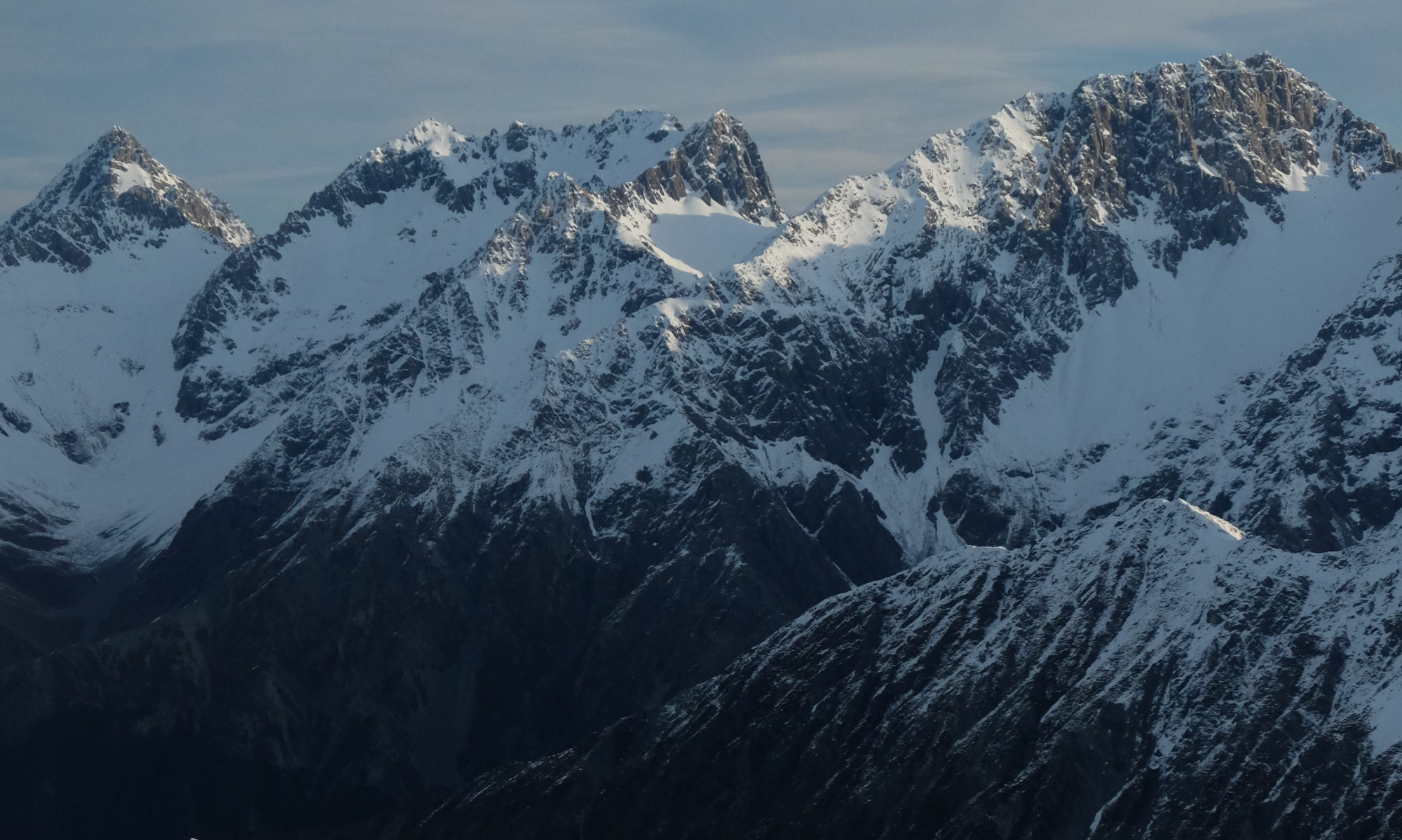
A beautiful sunrise accompanied our approach up to the base of the cliff, lighting up McClellan Peak and nearby lakes in some gorgeous colors. The wall towered above us, it’s clean white granite glowing in the shade.

Although most guides recommended bringing gear to 4 inches, again we decided to leave ours behind in favor of a slightly lighter pack. Lucky for us, a battered Chouinard #4 was lying at the bottom of the wall, apparently left for climbers to use. Adding it to the sling felt like a lot of dead weight but I had faith it would see some use. Still dazed and groggy, we racked up and began to climb.


The first pitches were beautiful, the stone was clean and cool as we made our way quickly up the lower portion of the wall. Soon we reached the giant chockstone the route tunnels through, pretty cool. Because we had our 8mm rope halved, we were limited to 30m pitches or short bits of simul-climbing. I decided to set up a belay on the large chockstone and watch Liz shimmy her way up the flaring squeeze chimney above. After a lot of grunting and cursing she topped out and hauled me up, my body and backpack barely fitting in that giant ass-crack.


The next pitch was tough and awkward, full on for the 5.8 rating. Although it’s supposed to go as one long pitch, I stopped short and got to watch Liz crank up the final perfect hand crack. The climb couldn’t have ended on a better note, tired from little sleep and heavy exertion we were happy to be on the summit.


Amazing views and the warm sun were working their magic on us, and although we could have easily taken a nap on the summit block, but the mosquitoes did their part to convince us it was time to descend. A few rappels and some traversing brought us around to the west ridge. From there it was an easy hike back to our bags and the trail out below.

The hike out was a bit of a slog but we hammered it home, making short work of the 10 miles and reaching the trailhead by 7:15 that evening. A nice warm down ride back into town and we were enjoying potato chips, beer, and some wonderful brown rice before dark.

The numbers:
Hours – 33
Miles of bicycling – 8
Miles of hiking – 20
Feet of climbing – 650 (5.9)
Vertical feet gained from doorstep – 6800
Fuel burned – none
Calories burned – many
Handfuls of Huckleberries – mucho
Smiles – 2


